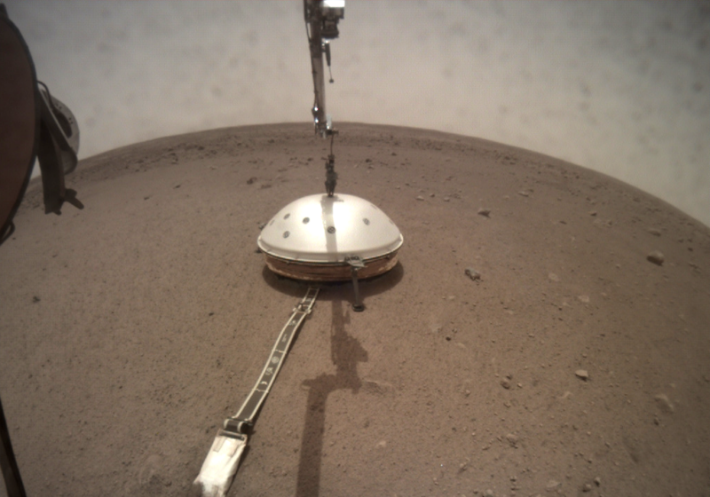
NASA's InSight lander installed a seismograph on Mars, and the marsquakes it detected have helped us map the planet's interior. This data provides the big picture of Mars' internals—how big the core is, whether anything is molten, and so on. But it doesn't capture the small details, like what the ground immediately below InSight looks like.
This week, researchers described how they've managed to find quiet periods on Mars that lets them image closer to the surface. The results, combined with some nearby surface features, reveal that InSight is likely above two large lava flows, separated by layers of sediment.
Be very quiet
Marsquakes aren't useful for sorting out local features. If their seismic waves arrive from far enough away, then their behavior is mostly influenced by the materials they spent most of their time traveling through. If the marsquake happens nearby, then things are too energetic to make out the fine details caused by local features. So, in order to look at the local geology, you need to look at the background seismic noise that's constantly being picked up by InSight.
On Earth, most of the seismic noise is generated by either human activities or the oceans. But Mars lacks both of these noise sources, and its background is dominated by the wind interacting with features on Mars.
But when the data was examined at times of day when winds were generally high, the noise turned out to be dominated by frequencies that were produced by the wind interacting with the lander itself. So the researchers focused on what was early evening, Mars time, when the winds tended to die down. At that point, most of the seismic noise is generated by weak winds interacting with nearby geology rather than with the lander itself.
Geologists have used seismic noise to reconstruct features on Earth by comparing the horizontal and vertical components of the noise. This is a process that can be consistent with a large collection of potential structures near the surface of Mars. To constrain the list of possibilities, the researchers focused on features that showed up in the majority of potential solutions. They also looked at the rocks exposed in nearby craters to search for visible features that correlated to the things their models were suggesting might exist.
What’s underneath
Closest to the surface, the regolith of Mars is formed by dust and rock fragments produced by impacts. It appears to be only 1.5 meters thick, although the researchers caution that the data on the uppermost 20 meters of material is very uncertain. By three meters below the surface, there appears to be a layer of volcanic rock, formed by major eruptions in Mars' distant past.
Below that, from roughly 30 meters to 80 meters (these figures are pretty inexact), is another layer of material where seismic signals move slowly. The researchers conclude this is likely to be a layer of sedimentary rock. Below that are further volcanic deposits.
The researchers conclude that the deepest volcanic deposits date back to the Hesperian, a period of widespread volcanic activity that ended over 3 billion years ago. The overlying sediment deposit formed while Mars experienced cold, dry conditions similar to its present state. After it consolidated, and sometime during Mars' Amazonian period, additional eruptions covered the sediments. Since then, impacts and Mars' winds have deposited a layer of loose material on top of the volcanic layers.
Obviously, all of this is consistent with what can be observed in nearby craters. Still, it's impressive how much information the researchers were able to extract from just a bit of noise.
Nature Communications, 2021. DOI: 10.1038/s41467-021-26957-7 (About DOIs).
Listing image by NASA/JPL-Caltech


3175x175(CURRENT).thumb.jpg.b05acc060982b36f5891ba728e6d953c.jpg)

Recommended Comments
There are no comments to display.
Join the conversation
You can post now and register later. If you have an account, sign in now to post with your account.
Note: Your post will require moderator approval before it will be visible.