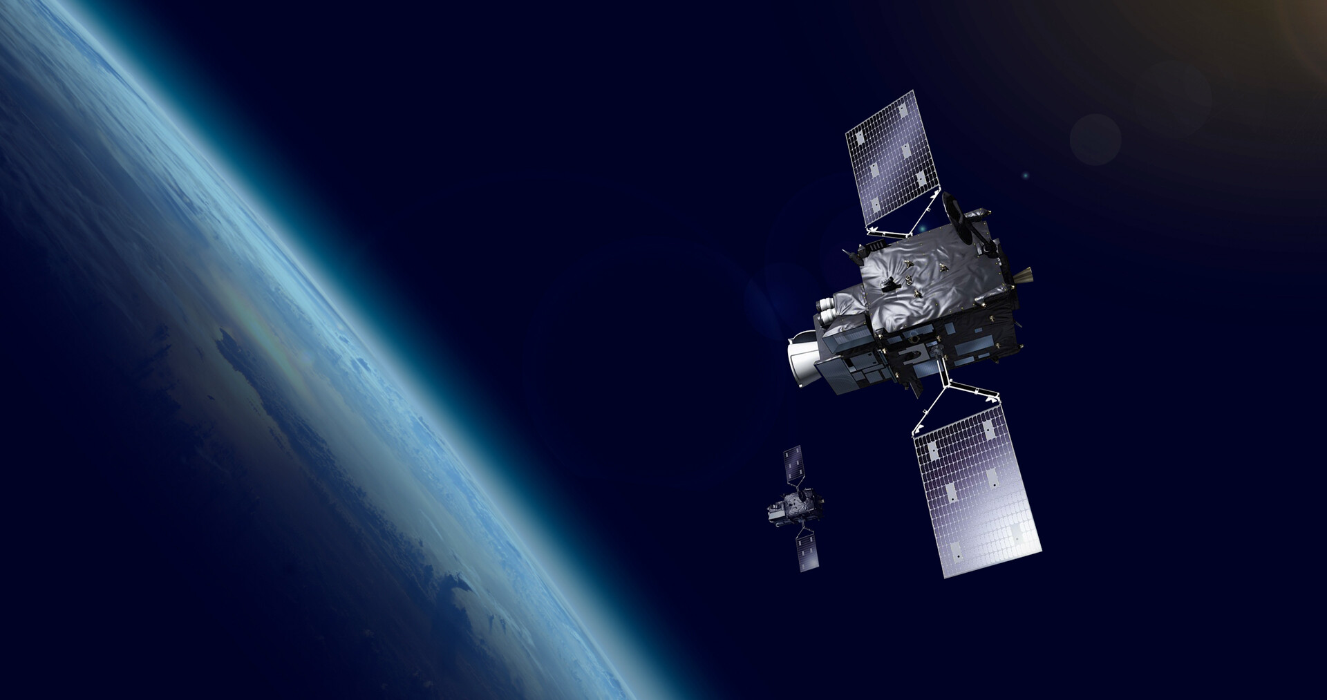
European Space Agency's latest weather monitoring satellite, Meteosat Third Generation Imager-1 (MTG-I1), has sent home its first image of the Earth. It was deployed in geostationary orbit at 22,000 miles above the earth's equator in December 2022 using the Ariane 5 rocket.
The satellite is designed to monitor weather conditions over the Europe and Africa regions. It captured the first view of Earth on March 18, 2023, using the Flexible Combined Imager onboard. The image shows much of Northern and Western Europe as well as Scandinavia covered in clouds, while the skies are relatively clear over the Western Balkans and Italy.
It displays a greater level of detail for cloud structures at high latitudes in the Nordic region. It also shows more details like the snow cover in the Alps, sediment in the water along the coast of Italy, and cloud vortices over the Canary Islands.
The level of detail revealed by the image was "unachievable over Europe and Africa from a geostationary orbit until now" and it "will give us a greater understanding of our planet and the weather systems that shape it," according to Simonetta Cheli, ESA’s Director of Earth Observation Programmes.
The agency says that the instruments onboard the satellite can produce images with a much higher resolution and more frequently than second-generation Meteosat satellites. Its Flexible Combined Imager can scan the entire Earth disc in 10 minutes and deliver images over Europe in just 2.5 minutes.
MTG-I1 follows the legacy of European weather satellites that started in 1977 with the launch of Meteosat-1. It's the first of six third-generation Meteosat imagers the ESA has planned to launch and use to collect critical weather data for the next 20 years. Natural disasters like floods, heat waves, and storms have caused close to 145,000 fatalities across Europe in the last 40 years and resulted in economic losses of around €500 million.
ESA says that the MTG satellite is currently going through the commissioning phase where its data is being collected and calibrated. The data will be distributed to meteorological services in Europe and other regions by the end of this year, and soon making its way to weather apps. You can download the original quality version of the image from here (68.91MB).
New ESA weather satellite sends back its first image of Earth with remarkable detail
- aum
-

 1
1


3175x175(CURRENT).thumb.jpg.b05acc060982b36f5891ba728e6d953c.jpg)
Recommended Comments
There are no comments to display.
Join the conversation
You can post now and register later. If you have an account, sign in now to post with your account.
Note: Your post will require moderator approval before it will be visible.