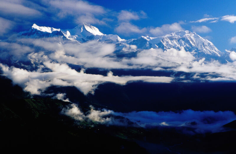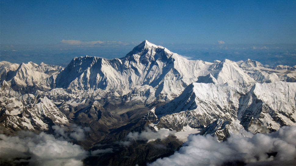
The Earth's mountains are engaged in a constant balancing act. Tectonic forces—a combination of volcanism and plate collisions—push them skyward. But erosion pulls them down. The height of the tallest peaks is set by which force dominates.
When it comes to erosion, ice can be a dominant factor. Glaciers scrape away rock while freeze/thaw cycles crack it. But a new paper suggests that ice has a limited effect on the very tallest peaks. At those altitudes, the freeze/thaw cycle shuts down because things remain cold year-round. And most peaks are steep enough that glaciers never have the chance to form. (They're mostly a kilometer or more below the peaks, down in the valleys).
Instead, the new paper argues that the tallest mountains don't so much erode as collapse, producing utterly massive landslides that can be catastrophic many miles downslope. To make this case, the paper presents evidence from a landslide involving 20 cubic kilometers of material in the Annapurna region of Nepal.
False sanctuary?
The Annapurna range of peaks in Nepal contains the 10th-highest peak on Earth, Annapurna I, which is over 8,000 meters above sea level. But it also contains a large number of nearby peaks over 7,000 meters. Between these peaks lie deep basins, over three kilometers below the peaks, with only narrow, river-filled gorges allowing entry. The most famous of these is the Annapurna Sanctuary, but there's a second deep basin to its east.
This second basin, called the Sabche Cirque, appears to be quite different from the Sanctuary, filled with sedimentary rocks that are frequently piled into jagged spires that can reach up to a kilometer in height. Unlike the rich ecosystems found in the Sanctuary, there's far less life in the Sabche Cirque. And the area drains via an exceptionally narrow and steep gorge.
The remoteness and extreme difficulty of access has left the Sabche Cirque largely unstudied. But a French-Nepali team managed to make it inside and obtained samples of these rock deposits for study.
The rocks of the Sabche Cirque turned out to be breccia, in which larger pieces of rock are embedded in compressed sedimentary material. Most of the embedded debris is small, about the size of a centimeter, and, oddly, the size of the embedded material gets larger as you get higher in the deposits.
This structure argues against the deposit having come from either gradual erosion or from a series of smaller events. To confirm that it came from a single source, the researchers obtained age information from carbon-14 in plant remains embedded in the material. These produced a consistent result, indicating the entire deposit formed at once in approximately 1200 CE.
A massive collapse
The researchers estimated both what the valley would have been like prior to the rockslide, as well as the original, pre-erosion scope of the deposits based on the material that remained. The team then calculated the original volume of material that filled the area, which suggests that the debris was the product of 23 cubic kilometers of rock, making it the largest rockslide identified in the Himalayas.
There was enough rock to fill the Sabche Cirque to a depth of one kilometer. The rock would also have spilled out and filled the valley downstream, where similar deposits can be found for at least 10 kilometers beyond the gorge and that date from roughly the same period.
Looking at the peaks around the Cirque, the researchers identified a large area below the present peak of Annapurna IV that has minimal signs of erosion; instead, it has lots of planar features that suggest the rock sheared off along faults. Combining the estimated volume with the area dominated by these features, they were able to reconstruct what Annapurna IV used to look like. Their conclusion is that it was once over 8,000 meters—but lost about half a kilometer in height during the rockslide.
Looking further at the valley downstream of the Sabche Cirque, the researchers estimate that it now contains about half the initial debris. The dating of deposits shows that the valley likely started to fill within a century of the rockslide and continued to fill over the ensuing century. While this would have been catastrophic for anyone who lived there at the time, the altered landscape now provides a home to fertile farmlands and Nepal's second-largest city.
Erosion by other means
Beyond describing the sheer scale of this event, the researchers go on to argue that massive rockslides may be how much of the loss of material from the world's tallest peaks occurs. Once a mountain range gets tall enough, they suggest, a number of things happen. One is that, above a certain altitude, freeze/thaw cycles no longer provide much in the way of erosion; they may shave a bit off the top but not enough to overcome the growth rate driven by plate tectonics.
At the same time, glaciers are active in the valleys below, carving away material at the base of the mountains. This accentuates the steepness of the slope, adding to the stress on the rocks at the base of rock faces, which have less and less material holding them in place. At a certain point, any internal defects in the rock put it at risk of collapse.
Since mountain building takes place in earthquake-prone areas, it's possible that seismic events can provide the final trigger for collapse, although the researchers can't find any indication that a major earthquake occurred at the time of this rockslide.
If this explanation turns out to be accurate, it should act as a caution for those who make their homes among the world's tallest mountains in Asia and South America. While it should be possible to identify mountain faces that are sheer enough to pose a risk of sudden collapse, it is likely difficult to predict the timing and scale of one of these events.
Nature, 2023. DOI: 10.1038/s41586-023-06040-5 (About DOIs).


3175x175(CURRENT).thumb.jpg.b05acc060982b36f5891ba728e6d953c.jpg)


Recommended Comments
There are no comments to display.
Join the conversation
You can post now and register later. If you have an account, sign in now to post with your account.
Note: Your post will require moderator approval before it will be visible.