
The lake is getting lake-ier and there are satellite images to prove it.

Badwater Basin has been transformed into an incredible lake.
Image credit: K. Skilling/National Park Service (left), Wanmei Liang, using Landsat data from the US Geological Survey (right)
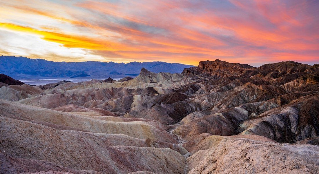
Being the driest place in North America, Death Valley probably isn’t the first place that springs to mind when thinking about lakes – but that doesn’t mean you won’t find one there. After Hurricane Hilary brought heavy rainfall to the region last year, a lake popped up in Badwater Basin and though at first it seemed to be disappearing, it now appears to be filling right back up.
“Most of us thought the lake would be gone by October,” said Death Valley National Park ranger Abby Wines in a statement. “We were shocked to see it still here after almost six months.” After all, while the lake had reached 11.2 kilometers (7 miles) long, 6.4 kilometers (4 miles) wide, and 0.6 meters (2 feet) deep last August, it had gradually been shrinking.
So why is it now making an unexpected comeback, like an end to the One Direction “hiatus”? It's all thanks to an atmospheric river – a flowing column of condensed water vapor that dumps down as heavy rain when it hits land (no Harry Styles involved).
Although water flows into Badwater Basin and not out of it (this makes it endorheic – there’s your word of the day), the heat usually means that evaporation takes water away faster than it can be replenished. That’s why many would more likely know it as a vast salt flat.

However, an atmospheric river earlier this month meant Death Valley saw 38 millimeters (1.5 inches) of rain in just three days – it normally only gets 50 millimeters (2 inches) in a year. Some of that water has been draining into the basin, filling up the lake.
“The Amargosa River [which feeds the basin from the south] is really flowing, and we’ve noticed the water level continue to rise over the last couple of days as waters make their way to the basin,” said park ranger Matthew Lamar, speaking to NASA’s Earth Observatory.
The changes brought about in the valley by these significant weather events have not only been observed by park officials, but also captured in satellite images. Taken by the Operational Land Imager (OLI) sensors on Landsat 8 and 9, the pictures show a stark difference between Badwater Basin in early July 2023 versus late August of the same year.

The image taken of the basin on February 14, 2024 looks much like when it was initially flooded last August. How long it will last this time is unclear; lakes in Death Valley are pretty rare, after all.
- phen0men4
-
 1
1
Recommended Comments
There are no comments to display.
Join the conversation
You can post now and register later. If you have an account, sign in now to post with your account.
Note: Your post will require moderator approval before it will be visible.